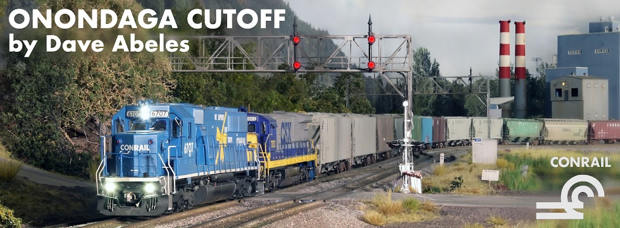
The most recent development with that has been a new addition to the scene at CP-282. Now that I have plotted out the route on the USGS quadrant maps, the railroad can develop a more true sense of place. The route exits Ram's Gulch south of Syracuse and makes a turn to the north, where suddenly the Syracuse skyline appears on the horizon. I took the photo earlier this fall (special thanks to Nancy at the Brighton Tower Apartments!) and then had a large print made. I trimmed the sky away, sprayed the remainder with dull coat, and mounted that on black art paper with a thick homemade black art-board frame. Here's the view during the afternoon - to me, this really adds an amazing depth to the scene.
I trimmed the black backdrop paper out from beneath the buildings, so that the entire city would have a glow to it from ambient light, as cities do to our eyes. Here's a closer view showing the windows I cut through the photo, allowing more pointed light to show at the correct spots:
Those familiar with Syracuse will recognize the Carrier Dome on the right, and other buildings at Syracuse University including 22-story Lawrinson Hall, where I lived for the first two of my four years at SU. The downtown proper is further to the left (west) with the MONY Towers and Verizon buildings as key features.
The operations on the Onondaga Cutoff, especially those at night, just got a little more prototypical!
Happy Thanksgiving to you all, and best wishes into the Holiday Season!
~RGDave


